Base History \ Arrival
The U.S. Army Yuma Proving Ground is located near the Arizona-California border, adjacent to the Colorado River, approximately 24 miles north of the city of Yuma, Arizona. Situated in the southwest portion of the state, the proving ground is in the heart of the great Sonoran desert. This is a military town and cost of living is moderate. Yuma is the largest city in Arizona outside the metro areas of Phoenix and Tucson. Yuma is the county seat and largest city of Yuma County.
 Yuma Proving Ground is nearly halfway between Phoenix (178 miles) and San Diego (180 miles) and within about 300 miles of Tucson, Las Vegas, Mexicali, Palm Springs and Los Angeles. Yuma is in the Mountain Time zone, but note that Arizona does not observe daylight savings time except on the Navajo Reservation.
History
Modern military equipment testing in Yuma can be traced back to 1943, when the U.S. Army Corps of Engineers opened the Yuma Test Branch. The area was also a portion of General George Patton's California-Arizona Maneuver Area, used to train soldiers for service in World War II. Yuma Army Airfield was also established nearby to train fighter and bomber pilots. The name was changed from Yuma Test Station to Yuma Proving Ground in 1963. On June 19, 1974, YPG was designated a Department of Defense Major Range and Test Facility, becoming one of 26 ranges and test facilities so named.
Base Operator: 928-328-2151 or DSN 312-899-2151. After duty hours, the number is transferred to the Police Desk.
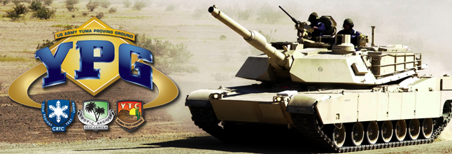
Mission
Yuma proving ground (YPG) is part of the U.S. Army Test and Evaluation Command and is a multiple purpose test facility. Specific proving ground capabilities include testing of: artillery, mortars, mines, ground and aircraft weapons, target acquisition and fire control systems, wheeled and tracked vehicles, and air delivery materiel, equipment and techniques. There is only one unit assigned to YPG (Support Detachment) and thee tenant activities. See the Major Unit Listings for more details.
Population Served:
Yuma Proving Ground serves Active Duty, DoD Civilians, Retirees, Army National Guard (Activated), Reservists (Activated), and their Families.
Demographic Information: 17693
ToYuma Proving Ground (YPG)from Yuma International Airport
Upon leaving the airport, go straight on Pacific Avenue until you get to 16th Street. Turn right on 16th Street and remain on the road for approximately 25 miles. Note:16th Street turns into Hwy 95 upon leaving the city. When you have traveled about 25 miles on Hwy 95, you will see two large guns on the left side of the road and a sign for YPG on the right. Turn left at that intersection and drive approximately six miles. The main entrance to YPG will be on your right.
Driving to YPG by POV
Traveling East or West on I-10
If you are traveling either East or West on I-10, you must exit in Quartzsite and then travel south on Hwy 95 (about 60 miles) until you see two large guns on the right side of the road. Turn right at that intersection and travel approximately six miles and you will see the main entrance to YPG on your right.
Traveling East on I-8
If you are traveling East on I-8, take the 16th Street exit and turn left onto 16th Street. Then follow the same directions as stated above.
Traveling West on I-8
If you are traveling West on I-8, take Exit 12 to US 95, turn right to the two guns. Then follow the same directions as stated above.
Homes Near Base